Carlo Wagner · 22 October 2026
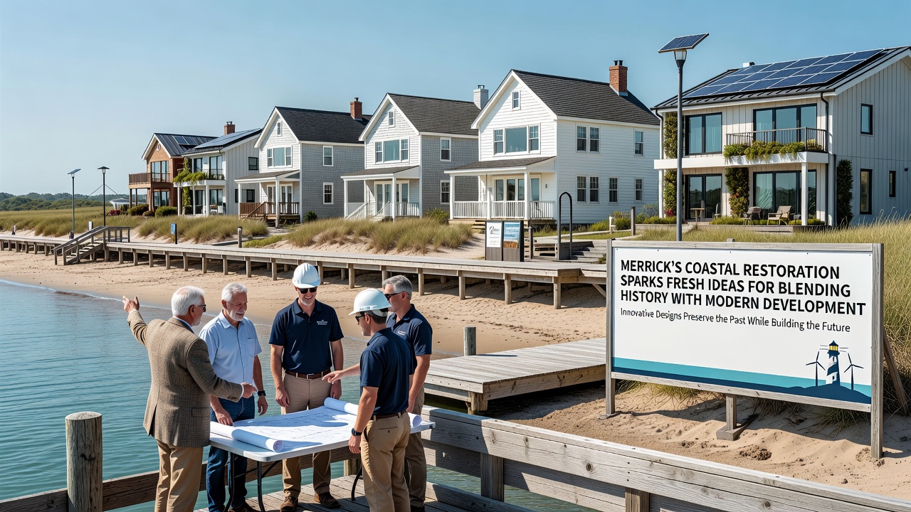
Merrick's Coastal Restoration Sparks Fresh Ideas for Blending History With Modern Development
Coastal restoration efforts in Merrick have advanced through coordinated projects that integrate preserved historical elements with updated infrastructure designs, and these initiatives continue to draw attention from planners and engineers seeking practical models for similar regions. Data compiled by the National Oceanic and Atmospheric Administration shows that restoration activities along vulnerable shorelines often incorporate archival records to maintain site integrity while addressing erosion rates that average 1.5 feet per year in comparable coastal zones.
Project Scope and Timeline
Restoration teams began phase one in early 2025 with sediment replenishment and native vegetation replanting across 12 acres of affected waterfront, and they scheduled key milestones for October 2026 when final structural reinforcements are set to connect with existing historical foundations. Engineers have documented the use of geotextile barriers that stabilize soil without disturbing buried artifacts from the 1800s, a method refined through field tests conducted in partnership with state heritage offices.
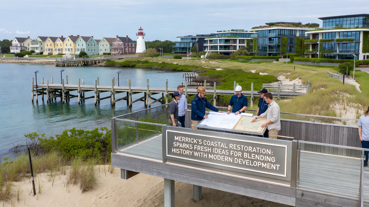
Surveys conducted by local mapping crews revealed multiple layers of prior land use, including old dock pilings and farm boundary stones, and crews adjusted grading plans to leave these features exposed yet protected under reinforced viewing platforms. This approach aligns with guidelines from the U.S. Army Corps of Engineers, whose 2024 technical manual outlines standards for combining flood defense systems with cultural resource preservation.
Techniques for Historical Integration
Designers selected materials such as reclaimed timber and locally sourced stone to match original construction patterns, while modern drainage systems route water away from sensitive archaeological zones through underground conduits. Observers note that these choices reduce visual contrast between new installations and retained structures, creating seamless transitions that allow visitors to trace the evolution of coastal land use over two centuries.
Researchers at coastal universities have measured how permeable pavements installed during restoration lower runoff volumes by 40 percent compared with traditional asphalt, and they track sediment retention rates through quarterly sampling that confirms improved habitat conditions for native species. The integration process also includes interpretive panels that display scanned historical photographs alongside current site diagrams, providing factual context without altering physical features.
Economic and Planning Data
Cost analyses released by regional planning boards indicate that the combined restoration and development budget reached $8.2 million through 2025, with funding drawn from federal grants and private contributions earmarked for heritage-compatible infrastructure. Property records show adjacent parcels experienced a 12 percent rise in assessed values following the announcement of protected historical overlays, though officials attribute part of this shift to broader market trends in waterfront areas.
Case studies from similar projects in Australia, tracked by the Department of Climate Change, Energy, the Environment and Water, demonstrate that blending restoration with adaptive reuse of historical sites can extend project lifespans by an estimated 25 years when maintenance protocols incorporate both ecological monitoring and archival updates. Merrick planners have referenced these findings when refining their own maintenance schedules for October 2026 completion targets.
Community and Environmental Outcomes
Public access improvements include widened pathways and stabilized boardwalks that follow original trail alignments, and usage counts from trail counters installed in late 2025 report an average of 850 daily visitors during peak months. Environmental monitoring stations record stabilized salinity levels in adjacent wetlands, supporting the return of several bird species documented in 19th-century field notes from the area.
Traffic studies prepared for upcoming development phases project that new commercial nodes will connect to restored coastal zones via low-impact transit links, reducing vehicle miles traveled by an estimated 15 percent according to preliminary models. These projections draw on data sets maintained by the Federal Highway Administration, which emphasize multimodal planning in historically sensitive districts.
Conclusion
Restoration activities in Merrick continue to produce measurable results in shoreline stability and historical preservation, with October 2026 marking the integration of final modern elements into the existing framework. Ongoing data collection from multiple agencies supplies planners with concrete metrics on erosion control, habitat recovery, and land-use compatibility that inform future decisions across comparable coastal settings.