Ines Perry · 10 September 2026
Shoreline Projects Reveal Hidden History in Merrick's Coastal Areas
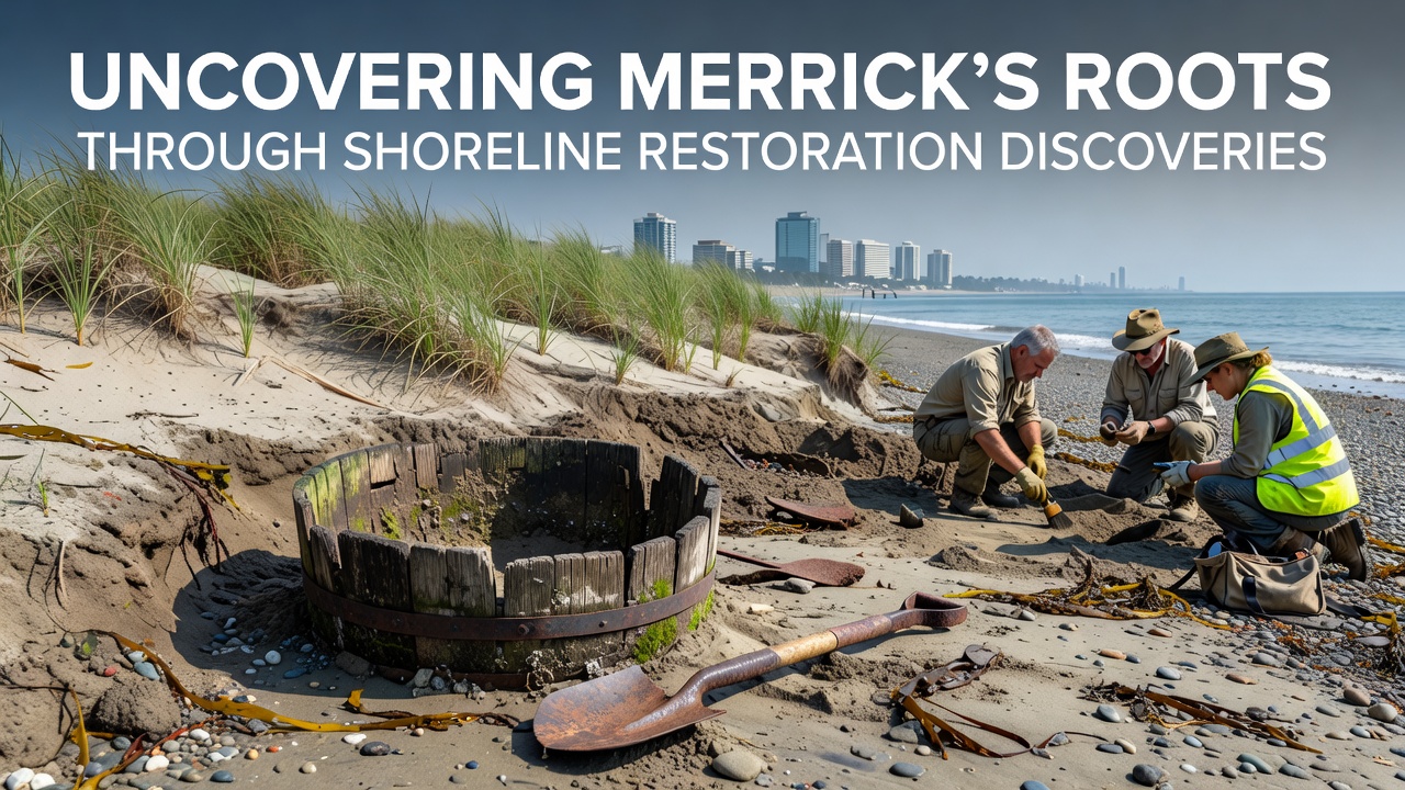
Coastal restoration efforts along the Merrick shoreline have brought forward a series of archaeological finds that connect directly to the area's earliest inhabitants and subsequent development patterns. These projects, focused on stabilizing eroding banks and improving habitat, involve careful sediment removal and monitoring that often intersects with buried cultural layers. Data from ongoing work shows that layers dating back centuries emerge when crews excavate to install native vegetation and structural reinforcements.
Project Scope and Timeline
Restoration crews began systematic work in Merrick during the early 2020s, expanding through partnerships between local agencies and state environmental offices. By September 2026, teams had completed several phases that included removal of invasive species, placement of coir logs, and grading of new tidal marsh zones. During one phase, workers uncovered shell middens and stone tools consistent with pre-colonial settlement patterns along the South Shore of Long Island. The finds occurred at depths of approximately two to four feet in areas previously mapped for erosion control only.
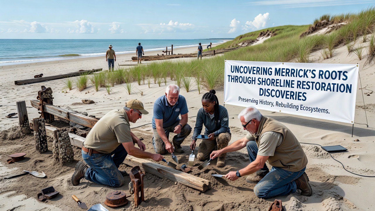
Researchers documented the artifacts in situ before moving them to controlled storage for analysis. This approach follows standard protocols established by state historic preservation offices, which require immediate assessment when ground disturbance reaches culturally sensitive strata. The process combines modern engineering techniques with on-site archaeological oversight to prevent damage while advancing ecological goals.
Types of Discoveries and Their Context
Excavation logs list items such as worked quartz points, ceramic fragments, and faunal remains that indicate seasonal fishing and shellfish gathering. These materials align with known patterns of Algonquian-speaking groups who occupied coastal zones for resource access. Later strata contain colonial-era items including clay pipe stems and iron hardware that point to 17th- and 18th-century activity once shipping routes developed around the bays.
Analysis conducted by university-affiliated labs has dated several organic samples using radiocarbon methods, placing the oldest layers between 1200 and 1400 CE. Such results add precision to regional settlement maps that previously relied on surface surveys alone. The integration of these dates with existing oral histories and land records creates a more continuous timeline for the Merrick area.
Methods Used in Restoration and Archaeology
Teams employ a phased approach that starts with geophysical surveys using ground-penetrating radar to identify potential cultural deposits before heavy equipment begins work. When anomalies appear, hand excavation units are opened to evaluate significance. This sequence minimizes delays while satisfying both environmental permits and historic preservation requirements. Sediment samples collected during these steps also provide data on past sea levels and vegetation changes that help calibrate current restoration models.
Equipment operators receive training on recognizing cultural materials so they can halt work immediately and notify supervisors. The protocol has been refined through multiple projects across the Long Island Sound region, where similar conditions exist. Coordination between engineers and archaeologists occurs through weekly site meetings that review progress against both habitat targets and preservation standards.
Broader Regional Connections
Findings from Merrick fit into larger patterns documented along the Atlantic coast. Similar shell middens and tool assemblages have appeared during restoration work in other New York communities and in comparable projects managed by agencies in neighboring states. According to information from the National Oceanic and Atmospheric Administration, such discoveries often occur when living shoreline techniques replace hardened structures because the new methods involve deeper soil disturbance.
Cross-referencing with records from Canadian coastal studies, including work by researchers at Memorial University of Newfoundland, shows parallel evidence of indigenous resource use in comparable temperate estuarine environments. These comparisons allow specialists to refine migration and trade models that span multiple watersheds.
Community Involvement and Documentation
Local historical societies have assisted with public outreach by hosting presentations that share preliminary findings while full reports undergo peer review. Volunteers help with surface collection in designated zones and contribute to cataloging efforts once artifacts reach laboratory facilities. This participation strengthens the connection between current residents and the layered history uncovered during the restoration process.
Digital records, including 3D scans of key artifacts, are being prepared for inclusion in regional databases maintained by academic institutions. These resources support future comparative research without requiring physical transport of fragile items. The approach also allows educators to incorporate primary materials into curricula focused on Long Island environmental and cultural history.
Conclusion
Shoreline restoration in Merrick continues to intersect with archaeological evidence that expands understanding of long-term human presence in the area. The combination of habitat improvement and systematic documentation ensures that new ecological features coexist with preserved records of earlier communities. Ongoing phases scheduled after September 2026 will likely add further data points as work extends into adjacent parcels. The results demonstrate how infrastructure projects can serve dual purposes when planning incorporates both scientific disciplines from the outset.